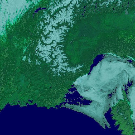
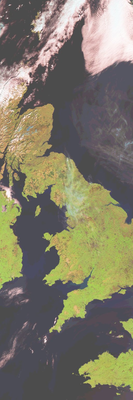
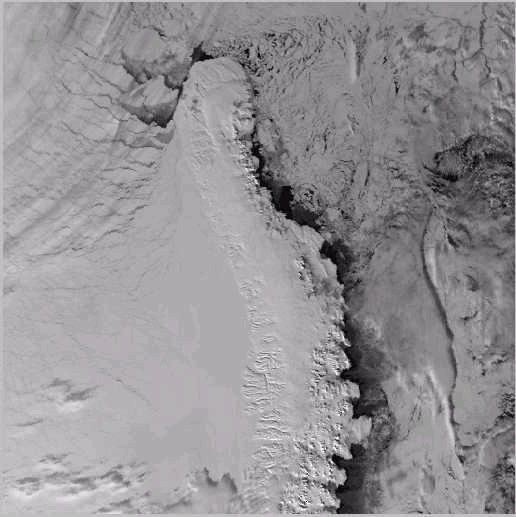
Image acquired by the Advanced Along Track Scanning Radiometer (AATSR), which is a space instrument on board the European Space
Agency's environmental satellite Envisat. Envisat was launched on March 1st 2002 and is the largest civilian satellite ever
constructed in Europe. DEFRA has made a special contribution to the Envisat programme by being the main funding partner and lead
agency in the development and provision of the AATSR instrument. AATSR is designed to measure sea surface temperature to very high
levels of accuracy, better than 0.5 degrees in order to allow scientists to monitor climate trends and improve predictions of future
climate change. AATSR is the third in a series of UK-developed instruments and has been developed by a consortium comprising Astrium
UK Ltd, the Rutherford Appleton Laboratory and other industrial partners. The programme has also benefited from a significant
contribution from Australia.